topographie

Stockpile: volume calculation and accuracy of results

By |2022-01-25T15:32:08+00:00September 24th, 2017|drone survey|

The drone: an efficient tool for stockpile calculation In order to know precisely the volume of ore to be evacuated and treated, we carried out a survey of this stockpile. Flight time: 18 minutes; Number of pictures taken: 186; Ground control points: 5 ; From the drone data, an orthomosaic of 5cm/pixel resolution is

Urban planning: topographic calculations and definition of an initial state

By |2022-01-25T15:39:14+00:00May 25th, 2017|drone survey|

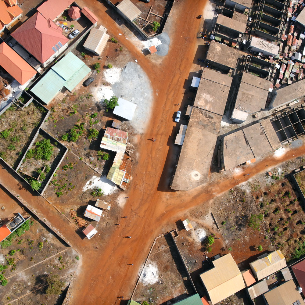
Drone and urban planning We have been involved in providing technical assistance for the urban planning of a development area. Thanks to the digital terrain model that we calculated from the data obtained by our drone, we were able to calculate a fine topography on the entire site. We thus transmitted to the customer

Go to Top