UAV: at the forefront of innovation
UAV is a particularly efficient tool to produce accurate data and to complement the so-called “traditional” methods. Sylvatrop Consulting currently has a fleet of 5 drones and experts in piloting and data analysis.
Sylvatrop Consulting has become a reference in West Africa with more than 200km² surveyed and mapped. We develop business solutions that integrate into your processes to meet your needs.
The drone, an agile, durable and precise tool, is particularly useful when access conditions to a site are difficult.
Species tracking, building inspection, mapping, topography, stockpile evaluation and much more… Thanks to the drone, we can meet all your needs.
Contact us to learn more!
Orthomosaic
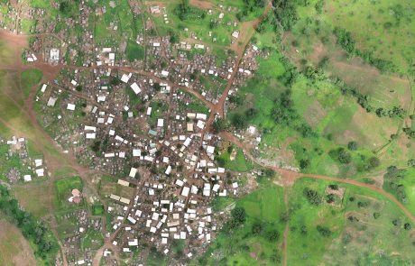
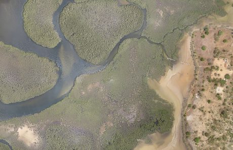
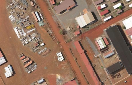
The orthomosaic is a reference document for Geographic Information Systems (GIS). It is an extremely precise aerial image (up to 3cm/pixel) corrected for geometric and optical deformations.
From this document, we are able to produce and analyze geographical data by the constitution of a GIS. Calculation of surface, distance, calculation of the number of constructions, definition of an initial state, identification of habitats are examples of what we regularly produce.
3D modeling, Topography
The advantage of the drone is to be able to couple in a single flight: realization of an orthomosaic and topographic survey. By photogrammetry, we produce topographic data with a centimetric accuracy.
3D modeling, contour lines, Digital Terrain Models (DTM) and/or Surface Models (SDM) are generally the most requested deliverables. However, we also produce cubatures, topographic profiles, hydrological modelling.


