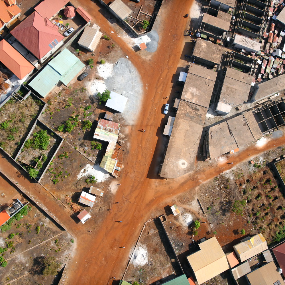
Urban planning: topographic calculations and definition of an initial state
Drone and urban planning We have been involved in providing technical assistance for the urban planning of a development area. Thanks to the digital terrain model that we calculated from the data obtained by our drone, we were able to calculate a fine topography on the entire site. We thus transmitted to the customer